Tools in the Field
At Kilbourne Hole and Aden Crater, the RIS4E team brought an arsenal of geology instruments into the New Mexico desert, from handheld X-ray guns and LiDAR laser scanners to fixed-wing drones and days set aside for data review. The expedition tested how those tools performed in simulated astronaut scenarios, and what they revealed about the volcanic field’s past.
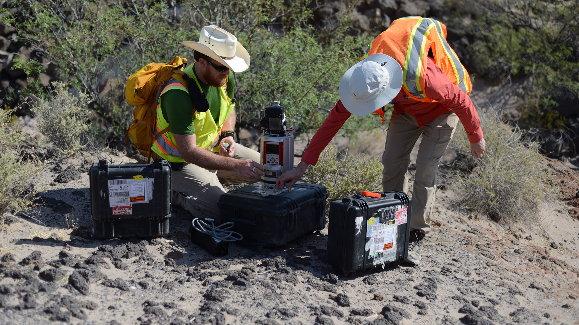
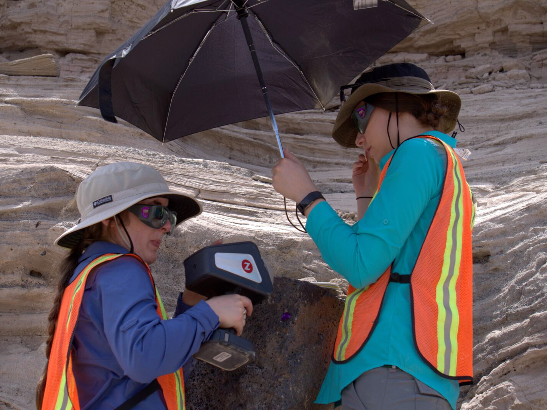
Kneeling in the desert, NASA scientists Kelsey Young and Amy McAdam train their research guns on rocks to determine the elemental composition of a geological site. Their mission: To help astronauts of the future do the same thing to look for clues of life on other worlds.
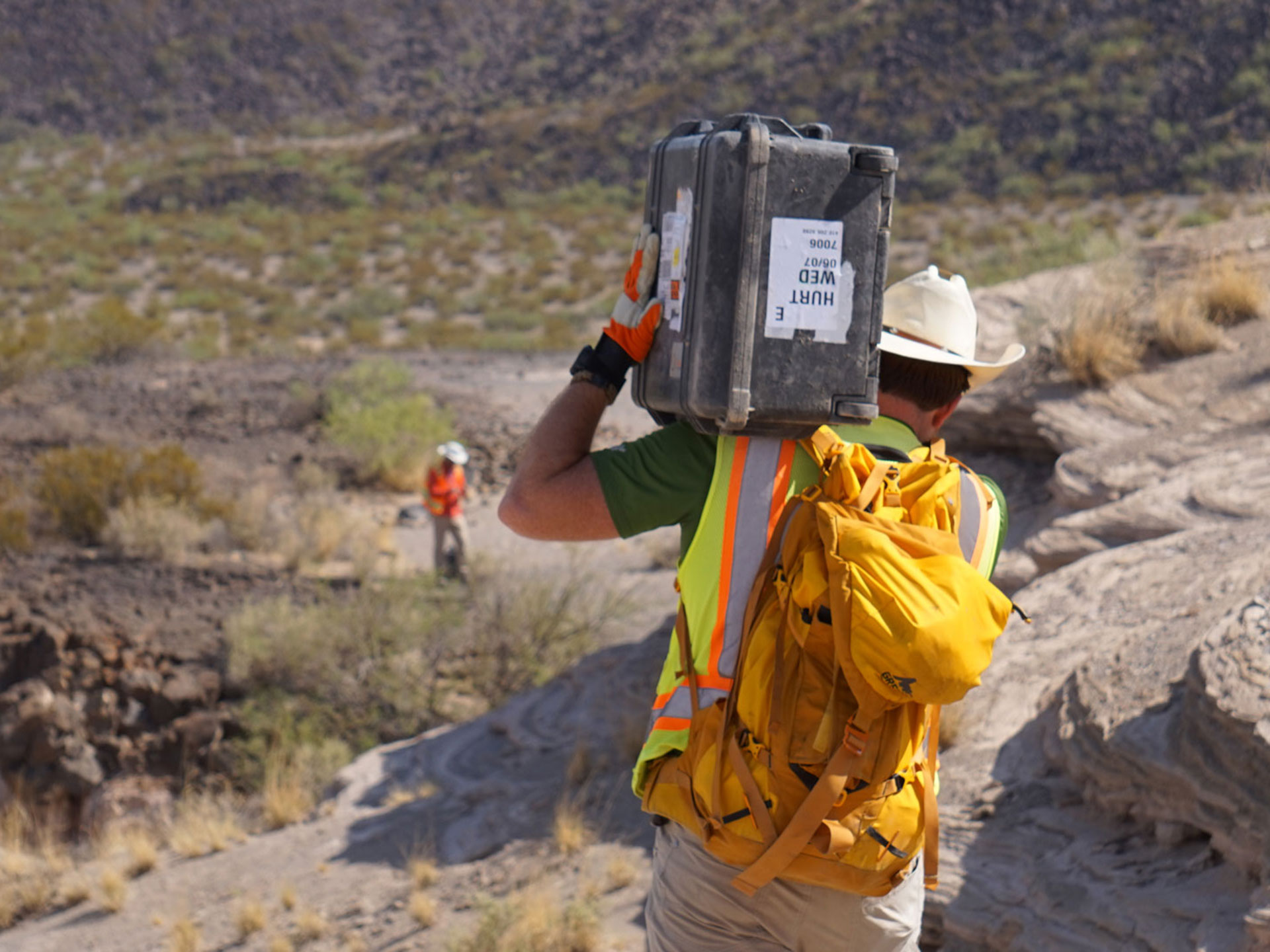
The Roving Adventures of Team LiDAR
Walking across a volcanic desert in New Mexico under a 105 degree sun isn’t easy. It’s even harder carrying a 50-pound black plastic box full of expensive technology on your back.
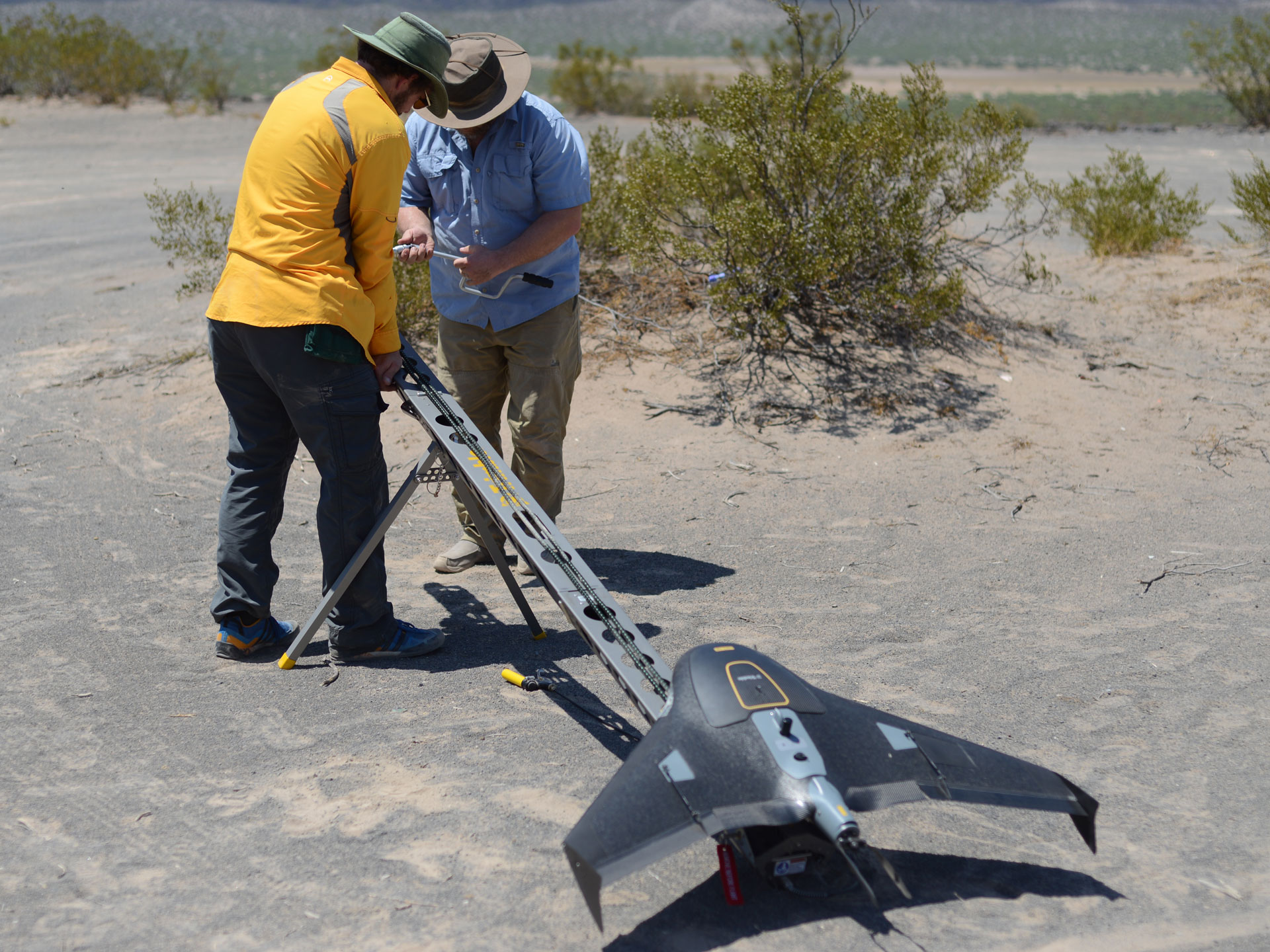
Drones Over Potrillo
Stephen Scheidt launched his fixed-wing drone, which looked like a miniature airplane, over the lava flows at Aden Crater and the crevices of Kilbourne Hole—a flying camera that rose just a few hundred feet to help piece together clues to what happened below 24,000 years ago.
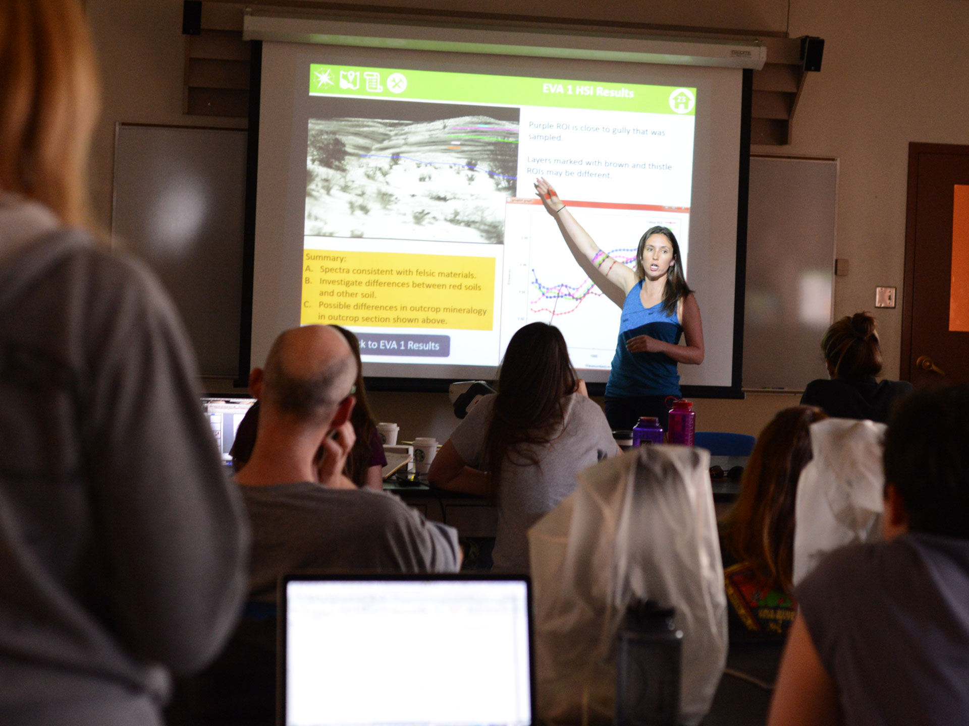
Data Days: Pausing For Reflection
Geologists often spend weeks or months in remote locations collecting data that they typically don’t analyze, or even glance at, until they’re long out of the field. RIS4E’s excursions to volcanic fields are different. The team builds in days for analysis, discussion and, sometimes changes in plans.